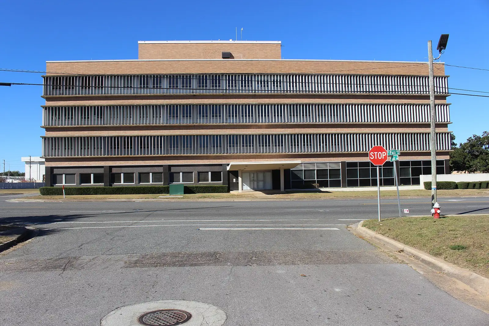
Pensacola's Westside redevelopment district covers 1,141 acres west of downtown, mostly in ZIPs 32501 and 32502, and is zoned for Pensacola High.
Last checked Oct. 11, 2026. Sources: the City of Pensacola’s 2025 Westside Redevelopment Plan and CRA district map, Escambia County’s address and bus stop layers, Escambia County Public Schools’ Find Your School lookup, the Florida Department of Education’s 2026 school grades, Zillow Research, ECAT and OpenStreetMap.
The Westside is the city’s name for the neighborhoods west of downtown and North Hill. It is one of the three tax increment financing districts of the city’s Community Redevelopment Agency, covering 1,141 acres, about 7.9% of the city, according to the CRA’s district page. The Westside Redevelopment Plan, adopted June 12, 2025, guides how the district’s tax increment is spent.
What this means for you
- Zoned high school: Pensacola High, graded C for 2026. Middle schools vary; check an address with the district’s Find Your School lookup.
- Home value: $265,232 in ZIP code 32501 and $336,653 in 32502 in August 2026, according to the Zillow Home Value Index.
- Nearest I-110 exit: Exit 2, U.S. 90 (Cervantes Street), about 1.4 miles by road.
Part of our Pensacola neighborhoods guide.
Where it is
The city’s plan says the Westside district extends from the former Baptist Hospital site, through several residential neighborhoods including the historic Tanyard, south to the former ACW Superfund site along Main Street. Its busiest streets are Cervantes Street (U.S. 90), Garden Street and Barrancas Avenue, which the plan contrasts with the quieter, tree-lined streets between them. Three neighborhood associations in the district belong to the Council of Neighborhood Association Presidents of Pensacola, the plan says.
Escambia County’s address map places about 4,350 addresses in the district, all in the city. About 58% are in ZIP code 32501, 35% in 32502 and the rest in 32505. About a third carry a unit number, which marks apartments, condos and offices. Besides Cervantes and Garden, the streets with the most addresses are Moreno, Jackson, Gregory, Government, Romana and Intendencia streets and the lettered streets, E through M.
Schools
We checked 10 addresses across the district in the district’s Find Your School lookup for 2026-27. Seven returned schools:
| Level | School | Address | 2026 grade |
|---|---|---|---|
| Elementary | Global Learning Academy | 80 N. P St. | C |
| Middle | Warrington Preparatory Academy | 450 S. Old Corry Field Road | C |
| Middle | J.H. Workman Middle | 6299 Lanier Drive | B |
| High | Pensacola High | 500 W. Maxwell St. | C |
All seven were zoned for Global Learning Academy and Pensacola High. Five were zoned for Warrington Preparatory Academy, a charter middle school, and two for Workman. Grades are the Florida Department of Education’s 2026 results. Check each address yourself. More is in our schools guide.
Home values
Zillow does not publish a Westside value. The Zillow Home Value Index for its three ZIP codes:
| Area | August 2026 | August 2025 | Change |
|---|---|---|---|
| ZIP 32501 | $265,232 | $264,096 | +0.4% |
| ZIP 32502 | $336,653 | $340,311 | -1.1% |
| ZIP 32505 | $145,730 | $145,979 | -0.2% |
| Pensacola (city) | $266,727 | $263,477 | +1.2% |
The index is a modeled typical value for the middle third of homes, not a sale price. ZIP 32502 also includes downtown and Seville, so it is a rough guide to its Westside blocks. More is on our home prices page.
Parks and trails
The city’s plan names Legion Field, St. John’s Cemetery and the Fricker Community Center among the district’s public spaces. Legion Field, 1301 W. Gregory St., has a walking trail lined with 34 solar lights, according to our walking and biking trails guide. Corinne Jones Park and Bruce Beach Park, 601 W. Main St., are just outside the district to the southeast. More is in our parks and trails guide.
Sanders Beach
Sanders Beach is the waterfront neighborhood on the district’s southern edge. The plan says it grew up around a public park built on the waterfront in 1908, just west of Joe Patti’s Seafood on Main Street. OpenStreetMap places it near Sanders Beach Park, which has a pavilion, a playground and the Sanders Beach-Corinne Jones Resource Center; the city is adding an ADA kayak launch, according to our parks and trails guide.
Within 0.4 mile of that point, the county’s address map places about 280 addresses, about three in four of them in the city, mostly in ZIP code 32502. Its main streets include Cypress Street, Bayshore Drive, Sonia Street and Barrancas Avenue. Of the addresses we checked there, all were zoned for Pensacola High and Warrington Preparatory Academy; elementary zones split between Warrington Elementary, 220 N. Navy Blvd. (graded C), and Global Learning Academy.
Getting around
Measured on the road network from the middle of the district:
- I-110 Exit 2, U.S. 90 (Cervantes Street): about 1.4 miles.
- I-110 Exit 1, U.S. 98: about 1.9 miles.
- City Hall, 222 W. Main St.: about 1.6 miles.
- Pensacola International Airport, 2430 Airport Blvd.: about 6 miles.
These are distances, not drive times, measured with the OSRM routing engine on OpenStreetMap roads. Escambia County’s bus stop map places 85 stops in the district. Routes on ECAT’s route list that stop there include Route 48 (Baptist Hospital and MC Blanchard), Route 44 (Brownsville and North Hill), Route 2 (Brownsville and Myrtle Grove), Route 55 (Pace Boulevard and Warrington), Route 61 (Pensacola Beach) and the Route 57, 58 and 59 Express routes to the Navy bases. More is in our getting around guide.
Groceries and everyday stores
From OpenStreetMap, inside or next to the district:
- Walgreens, 700 N. Pace Blvd., inside the district.
- CVS Pharmacy, 2100 W. Cervantes St., at its edge.
- Ever’man Cooperative Grocery & Cafe, 315 W. Garden St., about a third of a mile east.
- Bien Dong Oriental Market, 3510 Mobile Highway, about half a mile northwest.
Related: Friday night football, history and landmarks and moving to Pensacola.
Frequently asked questions
Where is the Westside in Pensacola?
West of downtown and North Hill. The city’s Westside redevelopment district runs from the former Baptist Hospital site south through the Tanyard neighborhood to Main Street, and covers 1,141 acres, about 7.9% of the city.
What schools is the Westside zoned for?
In the district’s Find Your School lookup, Westside addresses were zoned for Global Learning Academy (graded C for 2026) and Pensacola High (C). Middle school depends on the street: Warrington Preparatory Academy (C) or Workman Middle (B).
What is the typical home value on the Westside?
Zillow does not publish a Westside figure. Most addresses are in ZIP codes 32501, where the Zillow Home Value Index was $265,232 in August 2026, and 32502, where it was $336,653.
Where is Sanders Beach in Pensacola?
On the bay at the Westside’s southern edge. The city’s Westside plan says the neighborhood grew up around a public waterfront park built in 1908, just west of Joe Patti’s Seafood on Main Street.
Have your say