Pensacola trails with distances and parking: the 6.7-mile bay bridge path, downtown bike loops, the LEAP Trail, beach paths and 20-plus miles of UWF singletrack.
Last checked Oct. 10, 2026. Routes and distances come from Visit Pensacola’s biking pages, the City of Pensacola and Pensacola Off-Road Cyclists, linked below.
Pensacola’s best walks and rides run along the water: across the bay on the new bridge, around downtown’s historic neighborhoods and down the length of Pensacola Beach. Inland, the city’s parks have paved loops, and the University of West Florida has some of the region’s best mountain biking.
After Hurricane Isaias. Downed trees and lines are still being cleared. Stay off any trail or path blocked by debris, and report hazards in city parks to 311 or 850-436-5555.
Who to call
Trails at a glance
| Route | Distance | Start and parking |
|---|---|---|
| Pensacola Bay Bridge path | 6.7 miles | Pensacola Visitor Information Center, free lot |
| Bike Pensacola Uptown to Downtown | 9.3 miles | Downtown or uptown |
| Uptown Bike Loops (north and south of Creighton Road) | 3.9 miles each | Residential streets |
| Pensacola Beach Park to Park | 8.1 miles | Park West, Park East or Casino Beach, free |
| Fort Pickens route | 15.3 miles | Fort Pickens entrance |
| UWF and Muscogee mountain bike trails | 20-plus miles combined | Trailheads per PORC |
Across the bay
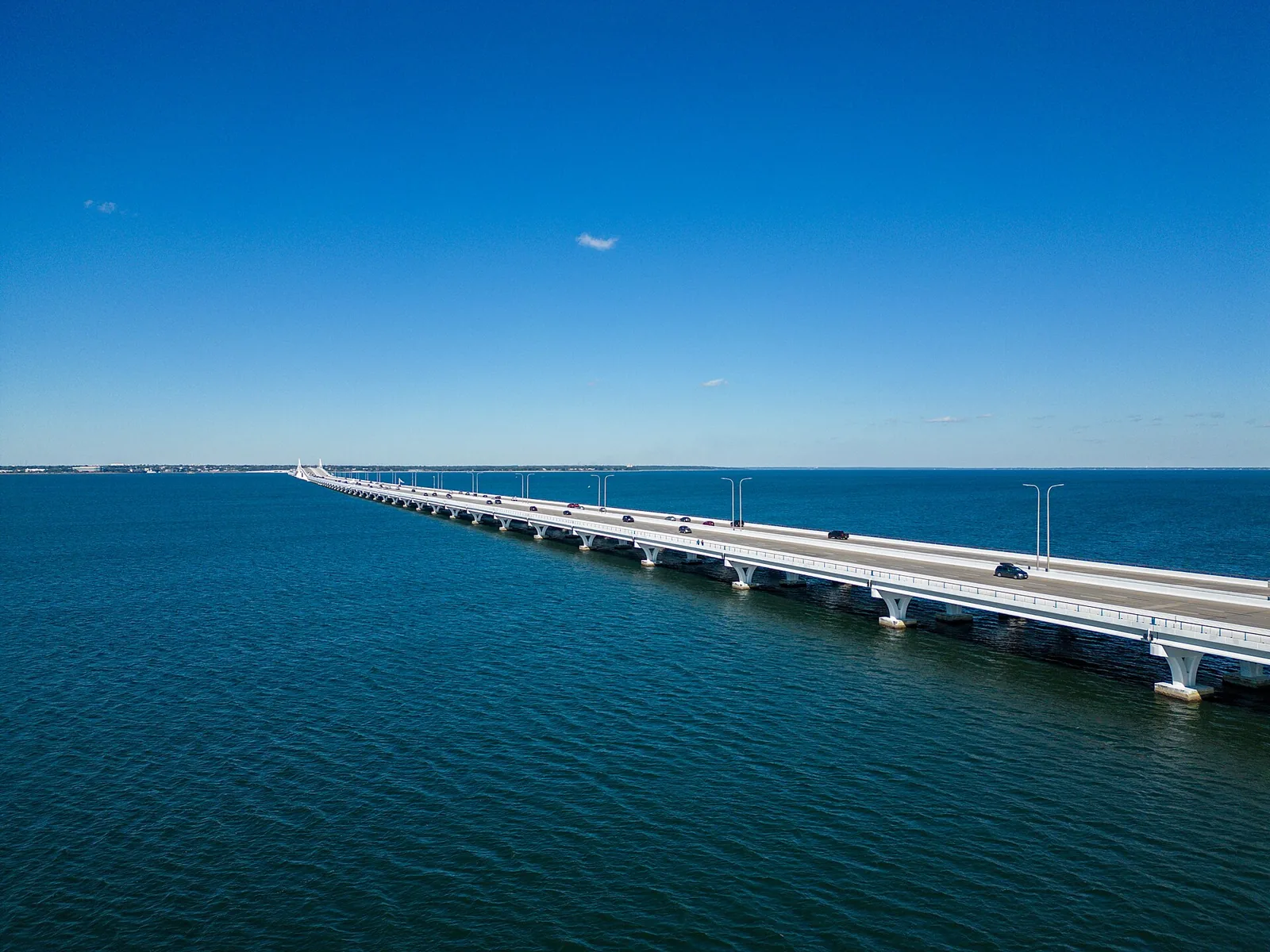
General Chappie James Memorial Bridge. The Pensacola Bay Bridge carries a 10-foot multi-use path separated from traffic by a barrier, open to walkers and cyclists. Visit Pensacola’s route is 6.7 miles, about 33 minutes by bike. Park free at the Pensacola Visitor Information Center, which has restrooms and a water bottle refill station.
Downtown loops
Bike Pensacola’s Experience Pensacola Bike Loops stay on low-speed, low-traffic streets:
- North Hill-Belmont DeVilliers Loop: Plaza Ferdinand VII, the Belmont-DeVilliers Cultural Arts Center, Alabama Square and Fort George.
- Maritime Park Loop: Corinne Jones Park, Plaza Ferdinand, Historic St. Joseph Catholic Church, Community Maritime Park and bay views.
- Seville Historic District Loop: the Pensacola Museum of History, Plaza Ferdinand VII, Veterans Memorial Park and the Tivoli High House.
- Five Neighborhoods Loop: five downtown neighborhoods, St. Michael’s Cemetery, Veterans Memorial Park and the Seville Historic District.
The city also posts Bike Pensacola’s safe riding routes: the 9.3-mile Uptown to Downtown route, mostly through quiet neighborhoods, and two easy 3.9-mile uptown loops north and south of Creighton Road, passing Dunmire Woods, Fairchild, Tippin and Parker Circle parks.
Park paths
- LEAP Trail: a track, playground and workout circuit running from near Pensacola International Airport to Jerry L. Maygarden Road, used by runners, skaters, dog walkers and cyclists, according to the city.
- Legion Field, 1301 W. Gregory St.: a walking trail lined with 34 solar lights.
- Bayview Park, 2001 E. Lloyd St., and the Roger Scott Athletic Complex, 2130 Summit Blvd.: walking paths, plus dog parks at both. See our dog-friendly guide.
- Community Maritime Park and Plaza de Luna on the bayfront downtown; Veterans Memorial Park, Community Maritime Park, Admiral Mason Park, Martin Luther King Plaza and Plaza Ferdinand stay open until 10 p.m.
Pensacola Beach and the seashore
- Park to Park route, 8.1 miles along the beach multi-use path between Park West and Park East; free parking at both and at Casino Beach, restrooms at both parks, according to Visit Pensacola.
- Fort Pickens route, 15.3 miles on a paved path through Gulf Islands National Seashore to the fort. The seashore’s entrance gate opens at 5 a.m.; an entrance fee applies. Leashed pets are allowed on park paths but not on beaches.
Mountain biking
Pensacola Off-Road Cyclists maintain the UWF trails on the University of West Florida campus and the Muscogee trails along the Perdido River, under development since March 2017: more than 20 miles of singletrack between them.
Rentals
The city’s Bayview Outdoor Pursuits Center rents bikes, kayaks and paddleboards. Downtown, Visit Pensacola lists Cycle Joint at 32 N. Palafox St., 850-741-4480.
Related: parks and trails, getting around Pensacola, dog-friendly Pensacola and free things to do.
Frequently asked questions
Can you walk or bike across the Pensacola Bay Bridge?
Yes. The General Chappie James Memorial Bridge has a 10-foot multi-use path separated from traffic by a barrier. The route is 6.7 miles, and you can park free at the Pensacola Visitor Information Center, which has restrooms and a water bottle refill station.
Where are the bike routes in downtown Pensacola?
Bike Pensacola’s Experience Pensacola Bike Loops follow low-speed, low-traffic streets: the North Hill-Belmont DeVilliers, Maritime Park, Seville Historic District and Five Neighborhoods loops. The city also posts Bike Pensacola’s 9.3-mile Uptown to Downtown route.
Where can I mountain bike near Pensacola?
The University of West Florida and Muscogee trails have more than 20 miles of singletrack between them, maintained by Pensacola Off-Road Cyclists.
Is there a bike path on Pensacola Beach?
Yes. The Park to Park route runs 8.1 miles along a multi-use path between Park West and Park East, with free parking at both and at Casino Beach. The Fort Pickens route through Gulf Islands National Seashore is 15.3 miles.
Have your say