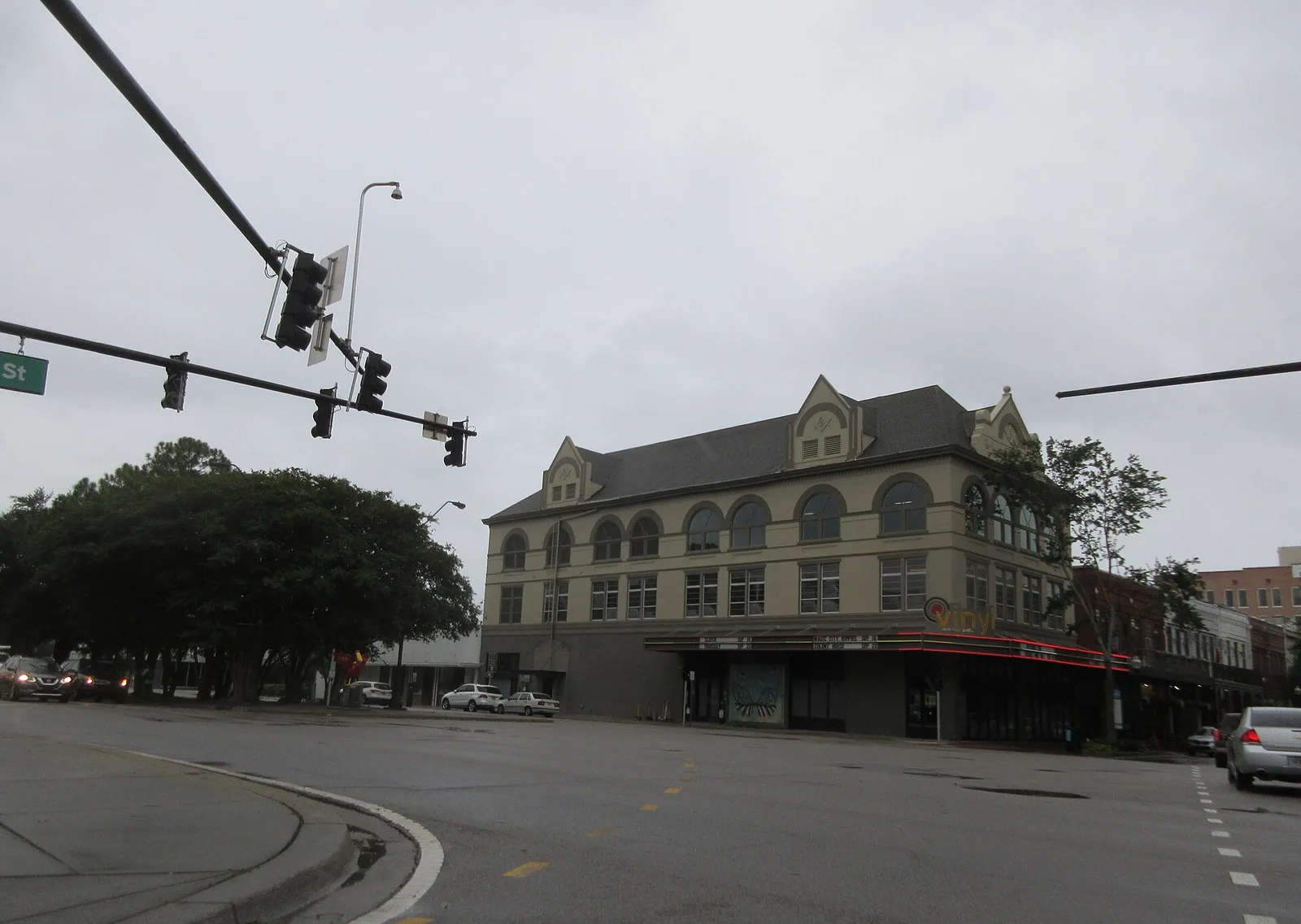
Downtown Pensacola's zoning districts cover about 270 acres from Wright Street to the bay, mostly in ZIP 32502. About 4 in 10 addresses are units.
Last checked Oct. 11, 2026. Sources: the City of Pensacola’s zoning map and 2025 Urban Core Redevelopment Plan, Escambia County’s address and bus stop layers, Escambia County Public Schools’ Find Your School lookup, the Florida Department of Education’s 2026 school grades, Zillow Research, ECAT and OpenStreetMap.
Downtown Pensacola runs from Wright Street south to the bay along Palafox Street, with shops, offices, apartments and condos above and around them. For this guide, downtown means the city’s downtown zoning districts: Downtown Retail Commercial (C-2A), the South Palafox Business District (SPBD) and the Waterfront Redevelopment District (WRD). The historic blocks east of Palafox have their own page, Seville.
What this means for you
- Zoned high school: Pensacola High, graded C for 2026. Check an address with the district’s Find Your School lookup.
- Home value: $336,653 in ZIP code 32502 in August 2026, according to the Zillow Home Value Index.
- Nearest I-110 exit: Exit 1, U.S. 98, about 0.6 mile by road.
Part of our Pensacola neighborhoods guide. For restaurants, shops and events, see our Palafox Street and downtown guide.
Where it is
On the city’s zoning map, the three downtown districts cover about 270 acres on both sides of Palafox Street, from around Wright Street in the north to the bayfront at Main Street and Community Maritime Park in the south. The city’s Urban Core Redevelopment Plan describes the South Palafox Business District as a zone for the historic downtown waterfront, and the Waterfront Redevelopment District as a zone for water-related uses on the downtown shoreline. It also maps the eight-block Palafox Historic Business District, roughly bounded by Wright Street on the north, DeVilliers and Spring streets on the west, Main Street on the south and Tarragona Street on the east, listed in the National Register of Historic Places in 2016.
Escambia County’s address map places about 950 addresses in the three districts, all in the city. Almost all are in ZIP code 32502; a few at the north end are in 32501. About four in 10 carry a unit number, which marks apartments, condos and offices. The streets with the most addresses are Garden Street, Palafox Street and Palafox Place, Baylen Street and Main Street. The plan lists the Port Royal Owners Association among the Urban Core’s neighborhood groups.
Schools
We checked 10 downtown addresses in the district’s Find Your School lookup for 2026-27. Eight returned schools, and all eight shared one set:
| Level | School | Address | 2026 grade |
|---|---|---|---|
| Elementary | Global Learning Academy | 80 N. P St. | C |
| Middle | J.H. Workman Middle | 6299 Lanier Drive | B |
| High | Pensacola High | 500 W. Maxwell St. | C |
The other two, at the bay end of South Palafox Street and on Red Feather Way, returned no school. Grades are the Florida Department of Education’s 2026 results. More is in our schools guide.
Home values
Zillow does not publish a downtown value, so ZIP code 32502 is the closest guide. The Zillow Home Value Index put the typical home at:
| Area | August 2026 | August 2025 | Change |
|---|---|---|---|
| ZIP 32502 | $336,653 | $340,311 | -1.1% |
| Pensacola (city) | $266,727 | $263,477 | +1.2% |
The index is a modeled typical value for the middle third of homes, not a sale price. Downtown has a large share of condos, which the index counts with single-family homes. More is on our home prices page.
Parks and trails
OpenStreetMap places three parks inside the downtown districts:
- Community Maritime Park, 301 W. Main St., the waterfront lawn with the Hunter Amphitheater and the Blue Wahoos stadium.
- Plaza de Luna, 900 S. Palafox St.
- Martin Luther King Plaza.
Plaza Ferdinand VII, Bruce Beach Park at 601 W. Main St. and Fort George are just outside. Bike Pensacola’s Maritime Park bike loop runs past Corinne Jones Park, Plaza Ferdinand and Community Maritime Park. See our walking and biking trails guide.
Getting around
Measured on the road network from the middle of downtown:
- I-110 Exit 1, U.S. 98: about 0.6 mile.
- I-110 Exit 2, U.S. 90 (Cervantes Street): about 0.9 mile.
- City Hall, 222 W. Main St.: about 0.6 mile.
- Pensacola International Airport, 2430 Airport Blvd.: about 5.5 miles.
These are distances, not drive times, measured with the OSRM routing engine on OpenStreetMap roads. Escambia County’s bus stop map places 21 stops in the downtown districts. Routes on ECAT’s route list that stop there include Route 2, Route 31, Route 32, Route 44, Route 45, Route 61 (Pensacola Beach) and the Route 57, 58 and 59 Express routes to the Navy bases. Downtown parking rules are in our getting around guide.
Groceries and everyday stores
From OpenStreetMap:
- Ever’man Cooperative Grocery & Cafe, 315 W. Garden St., inside downtown.
- Walgreens, 870 E. Cervantes St., a little over half a mile northeast.
- Publix, 1100 E. Cervantes St., to the northeast.
Related: live music and nightlife, brunch and moving to Pensacola.
Frequently asked questions
What schools is downtown Pensacola zoned for?
Every downtown address we checked in the district’s Find Your School lookup was zoned for Global Learning Academy (graded C for 2026), Workman Middle (B) and Pensacola High (C).
What is the typical home value in downtown Pensacola?
Zillow does not publish a downtown figure. In ZIP code 32502, which covers almost all of downtown, the Zillow Home Value Index was $336,653 in August 2026, down 1.1% in a year.
Is there a grocery store in downtown Pensacola?
OpenStreetMap places Ever’man Cooperative Grocery & Cafe at 315 W. Garden St., inside the downtown zoning districts. The nearest Publix is at 1100 E. Cervantes St.
Do people live in downtown Pensacola?
Yes. Escambia County’s address map places about 950 addresses in the downtown zoning districts, and about four in 10 carry a unit number, which marks apartments, condos and offices.
Have your say